 |
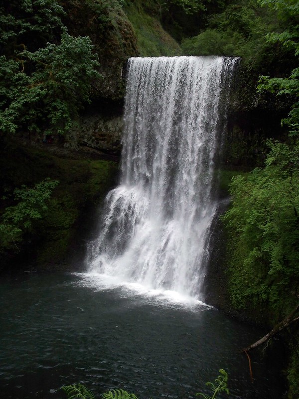
| Lower South Falls. |
But first things first. April and I did not ride out with the main group of fifteen on Saturday, we opted to ride with the "Friday" group led by my friends Esther and Timo. This would break the ride to Silver Falls into two days instead of one, which made the riding a bit easier, but overall it was a longer route. About ten of us departed from the Vera Katz statue on the Eastbank Esplanade around 2pm and rode about 35 miles to Champoeg State Park on the Willamette River west of Canby.
The ride out explored the almost finished Trolley Trail that follows the old interurban line to Oregon City. I say almost finished, as they had paved the trail but haven't put in curb cuts, which made for some jarring transitions when crossing roads.
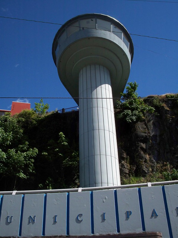
In Oregon City we took the Municipal Elevator which connects downtown with uptown, a difference in elevation of 130 feet. It offered impressive views of the town and the Willamette.
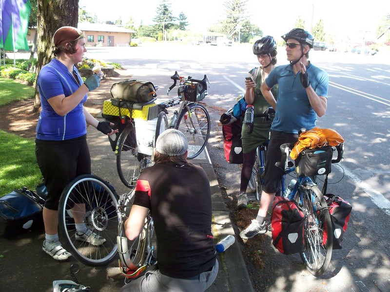
But that wasn't the end of hills, as any route of Oregon City (besides super-sucky 99E) involves a big hill. At the top Caroline noticed that her rear wheel was making a weird noise. The culprit: worn disc brake pad. We called the "late team" and asked them to pick us up extra brake pads, and they did.
The rest of the ride involved lower traffic country roads and we made it to Champoeg after 6. Just in time for a thunderstorm to dump rain on us. Thankfully I remembered to bring a tarp and set it up over a picnic table so we had a dryish place to sit and eat for the night. The rest of the "Friday group" met us at the campground later in the evening.
Saturday we rode 42 miles from Champoeg to Silver Falls. We made a lunch stop at Luis Tacos in Woodburn. (Yum!) This is where our second big mechanical issue of the trip happened.* Steph got a flat, but when the flat-repair team took a look at the tire, they realized it was shot beyond hope. Thankfully there was a bike shop in Silverton, just before the climb to the park, where she picked up a new tire.
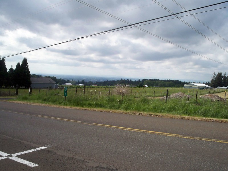 |
| The view from the climb to Silver Falls. Coast Range can be seen in the distance. |
And oh yes, the climb. Fourteen miles of mostly up, broken down into three sections: the first four miles which was ridiculously steep (8% and up I estimate), the middle section of six miles which was more gradual in climb (4-6%), and the last four miles which was just rolling. And then the park! But no sightseeing tonight, as the group was in the group camp, three miles from the main campground and a ways away from most of the stuff.
 |
| Double Falls. |
Sunday was our big sightseeing day. April and I took a big hike and saw eight of the ten waterfalls that the park is famous for. I'm not going to go into great detail about the waterfalls here, it's best to check out my flickr set for the ride to see all the falls.
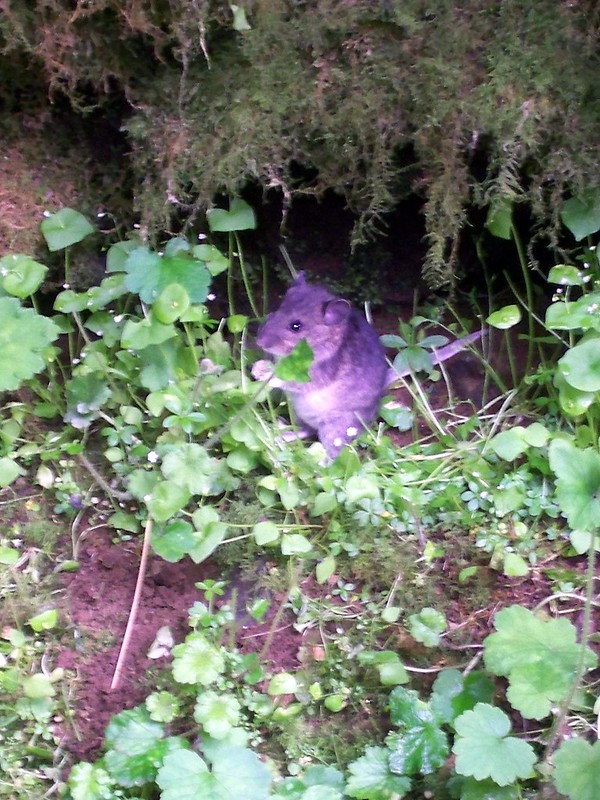 |
| Vole? behind South Falls. |
And Monday we returned. The descent from Silver Falls to Silverton was definitely a lot easier than the climb. April and I separated from the main group and had lunch at a Thai place. The ride back was pleasant, flat to rolling farmland along the Willamette Valley. We were tired by the time we got into Oregon City so we decided to take the bus rather than ride the 15 miles back into Portland, putting our daily mileage at 48.9 miles.
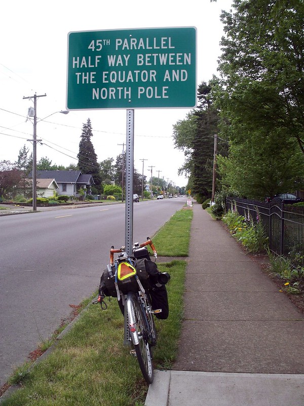 |
| 45th Parallel, as observed in Silverton, Oregon. |
Silver Falls was great, but man, that hill! It's worth it for the waterfalls but I doubt I would bike here more than once a year.
*Vivian got a flat as well, but it wasn't as dramatic as Steph's.

Hey, that's a great ride. I recall both those parks. Silver Falls was my favorite place for a hike.
ReplyDeletei'm so glad i didn't go on that trip; the hills would have killed me! the oregon city hill was hard enough. the next time i go to champoeg, i was really hoping the elevator would take care of that for me, but it sounds like it doesn't really go as far as i hoped. where do you go after the elevator?
ReplyDelete