 |
| Oh Mount St. Helens, please do not blow up on me. |
I left Paradise Creek Campground a little after 10 am. (The other cyclists had already left by the time I woke up at 7:45am, which I figured since they had already retired by 7:30pm.) The first five miles of the day were the toughest, a 6-8% climb up to Oldman Pass with an elevation gain of around 1,500 feet. The morning was peaceful (if a little damp) and quiet, as there wasn't much traffic on Wind River Road. The scenery was fine if not spectacular, basically a climb through the woods.
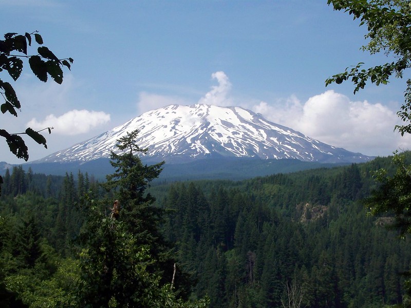
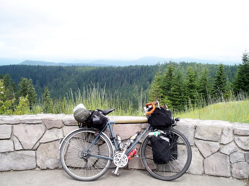
An hour later I finally got Oldman Pass (3,000 feet), though there was no great view from the top. The "view" would come in a few more miles on the descent down Curly Creek Road. And the reason why view is in quotations is because low cloud cover obscured Mount St. Helens at McClellan viewpoint, so it wasn't as good as it could have been. Of course, the cloud cover waited to burn off right as I left. But then I got to see St. Helens on the screaming and beautiful (and screamingly beautiful) descent down. It was one of those descents that didn't feel as fast as others...until I looked down at my speedometer and noticed I topped out at 42 miles and hour (68 km/hr). Yikes! That's possibly the fastest I've ever gone on a bike!
 |
| McClellan viewpoint |
Once I got to the bottom of the descent it was about 20 miles of riding on the north shore of Swift Reservoir, an impoundment of the Lewis River. The road was windy and up and down, but thankfully no big grades and little traffic. Still, this section was the least thrilling part of the ride, as there wasn't much of a view for most of it, and when there was, it was a man-made lake. (I can't get that excited about man-made lakes.) After almost 40 miles, I was in the "blink and you'll miss it" town of Cougar, on the edge of the Gifford Pinchot National Forest. I stopped to have some lunch and ponder what to do next.
I had lined up a Warmshowers host in Brush Prairie, a "town" outside Battle Ground. It would still be another 30 miles to get there. As I said earlier, I had already planned on a long day for today. The only camping options (besides Battle Ground Lake, which would be near Brush Prairie) would be some Pacific Power campsites along the many lakes on the Lewis River. April and I had been to them before, and found them crowded, expensive, and lacking in charm. So that's why I had planned on a long day.
But why just go to Brush Prairie? From there, it would be about 20 miles to the Red Line MAX. I could get home tonight. Yeah, it would mean a ninety mile day, but so what? At least I would get home. And not have to interact with strangers. Not that I have anything wrong with Warmshowers, it's just that after a long day of riding sometimes I don't feel like interacting with people I don't know. So I decided to push on, all the way home.
 |
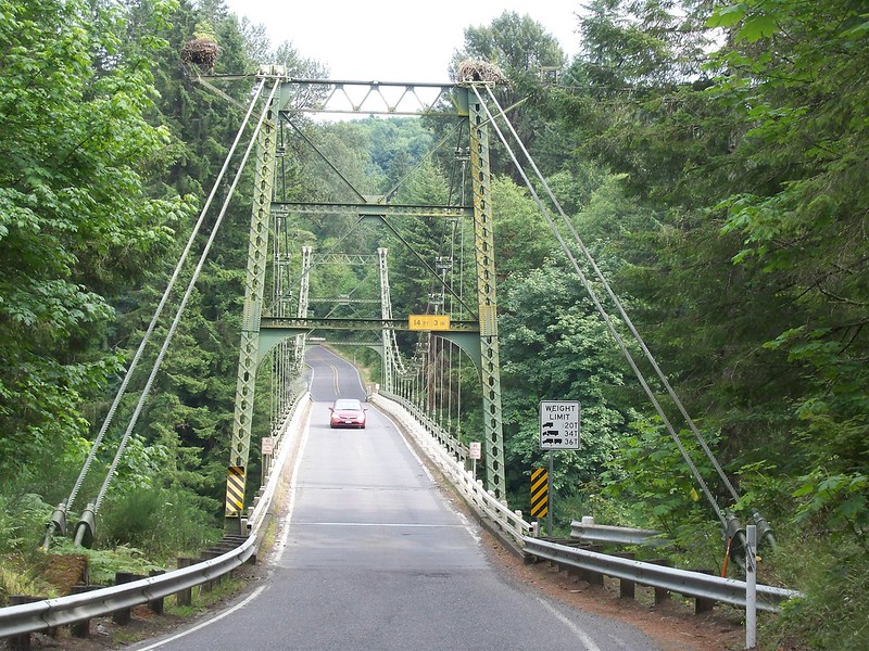
| Yale Bridge, Lewis River |
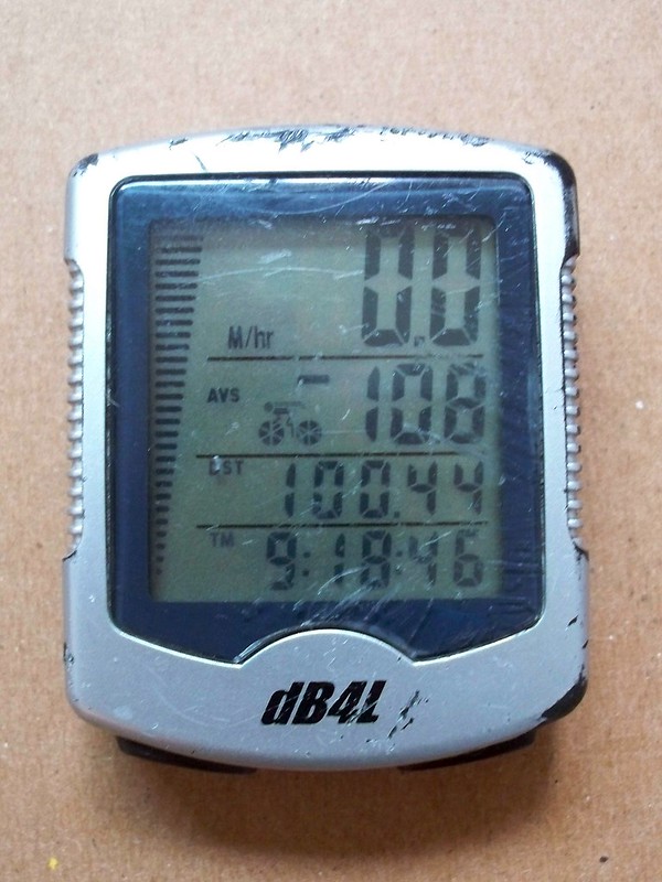
Of course, a minute away from the MAX station I saw the train depart. Knowing that at this time of night it may be at least a half-hour until the next train, I decided to just ride. And ride I did. A few blocks away from home, the tripometer on my cycle computer passed the hundred mile mark. And then I was home. Exhausted, I wolfed down my food and snuggled April. The tour was over.


My very first century was on a surprisingly similar route. I had no idea I would climb a couple of passes near St. Helens and when my husband came to pick me up along the gorge at our predetermined spot (I was later than intended) he headed out to find me. I was 3 miles from the 100 mile mark when he stopped me. Since he knew I was safe, I told him I would meet him in a few miles. That's some of the hardest riding I've ever done.
ReplyDeleteThanks for sharing your whole ride with us. It brings back so many memories.
ReplyDelete