
Last time I left you fine folk I was in Centralia again. Well, after that I hit the high road on a quiet scenic route that bypassed Chehalis and connected to Washington Route 6, the highway I would use to the coast. 6 was a fairly quiet road with low-to-moderate traffic and varying shoulder width.
Of course, there's an abandoned rail line that parallels SR 6 all the way to the coast. Theoretically it's a "bike trail" but depending on the section it's either paved, unpaved but graded with fine gravel, or ungraded. And many of the bridges are out. So I used very little of the trail.

 |
| CCC built comfort station. |
25 miles from Centralia I made it to Rainbow Falls State Park. The campground was deserted; besides myself I only counted the camp host, park staff, and one lone RV. The falls were pretty underwhelming, especially after Silver Falls. Falls just aren't that big in the coast ranges, oh well. At least there was a hiker/biker site. And a covered picnic area.
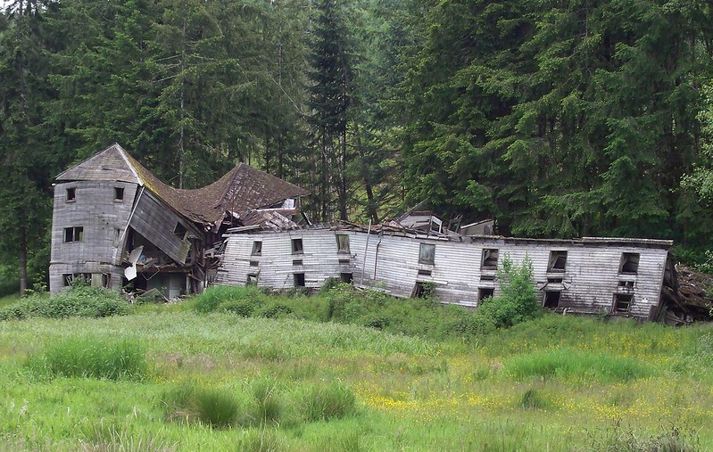
Monday June 4, Day 6 of tour. It was raining, so I packed up house and made breakfast in the covered picnic area. It was a misty ride to Pe Ell, the only true town between Chehalis and the coast. And "town" is almost a shell. Its boom days of saw mills and train service are long gone.
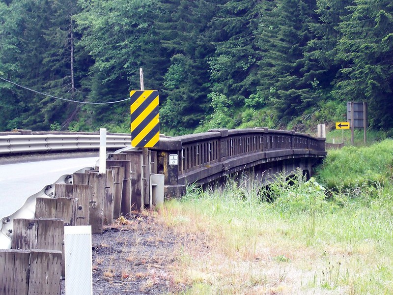 |
| Summit bridge. |
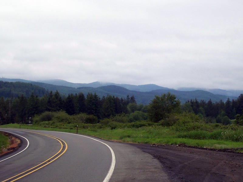 |
| The descent. |
The next 7 or so miles from Pe Ell were the climb to the summit of the Willapa Hills. And it was barely a climb at all! But there was definitely a descent. For two miles I coasted at speeds up to 30 mph.
The rest of the ride to Raymond was uneventful, a gradual downhill cruise following the Willapa River. Though the traffic did start to pick up a bit, along with the rain, ugh.
Raymond was a small town where SR 6 meets US 101, and where the Willapa River widens and turns tidal. Approaching Willapa Bay. Raymond is quiet and fairly depressed but nowhere near as bad as Aberdeen (Kurt Cobain's hometown) to the north. I hit up a grocery, wolfed down a Subway sandwich (didn't realize how hungry I was!) and rode on to South Bend.
After South Bend the river turned into an estuary, and I was hit with a strong headwind as I was heading due west. Thankfully my respite was not far ahead: Bruceport County Park, atop a small hill overlooking the water. I wasn't sure if I would camp there or ride another 9 miles down to the KOA. I'm not much for KOAs as they are expensive, unscenic, and usually overrun with kids. But this one promised a $14 rate for bicyclists and a covered picnic shelter, plus all the typical KOA amenities.
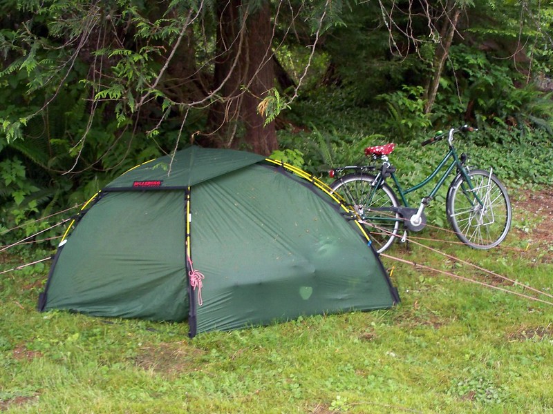 |
| The German cyclists' setup. |
But Bruceport won me over. It had a view, a covered shelter, and no one there. Except for another cyclotourist! Her name was Yanni (I think) and she was from Germany. And (stereo)typical to a Northern European, she had a Hilleberg tent and Trangia cookset. She was also riding a bike with an internal hub, an 8-speed Nexus if I remember correctly.
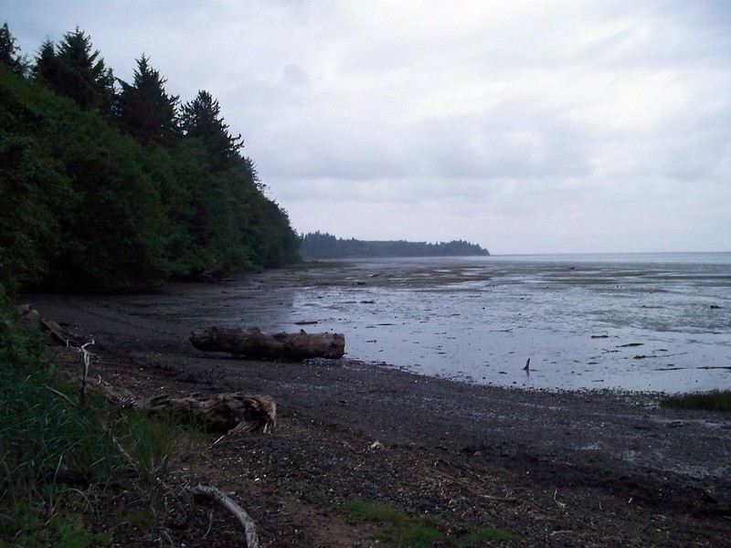
I made dinner and then took a walk down a trail to a beach on the bay. The look and feel if the beach reminded me of Wreck Beach in Vancouver, minus the naked dudes. And then I turned in.
The Numbers:
Day 5: Millersylvania to Rainbow Falls State Park
48.0 miles
11.8 mph average speed
4:04 saddle time
Day 6: Rainbow Falls to Bruceport County Park
48.7 miles
11.4 mph average speed
4:16 saddle time
No comments:
Post a Comment
I'm no longer allowing new comments on this blog. You can comment on the exact same post on the new blog. Go find it over at http://urbanadventureleague.wordpress.com/
Note: Only a member of this blog may post a comment.