So, I've got two and a half weeks off from work, starting this Wednesday and going to Memorial Day Weekend. Whenever I have this much time off from work, I travel. No ifs, ands, or buts. I don't relish "just bumming around home" if I have the opportunity to go somewhere.
But where to go? Initially I was planning on doing an Eastern Oregon bicycle tour. Even though I've lived in Oregon for 8 years, I've only really seen the west of Cascades half. East of Cascades--the dry side--is still a mystery. It's beautiful out there, so I'm told, and what better way to get to know it intimately than on two wheels?
Well, the problem is that early May is still "iffy" weather out there. I'd be going over several mountain passes in the 3,000 ft or higher range (about 1,000 metres or higher for you Metrikids). And when I checked the weather last week, ALL the passes were still getting snowed on, snow still piled on the sides for the road, temperatures around freezing. Now I've done some snow riding, but I didn't relish the idea of biking over snowy, icy, and cold mountain passes and having to CAMP near them.
Well, what to do? The clock's a-ticking!
I could take a train somewhere else. California? Just went there. Midwest? Nah, not right now. How about closer to home? The Oregon Coast is beautiful, but I've already done it. I will do it again, but not right now. Same goes for the Gorge. Plus, it's always there, so I'll be doing a few tours in it during the summer. I wanted to explore some unknown, uncharted territory.
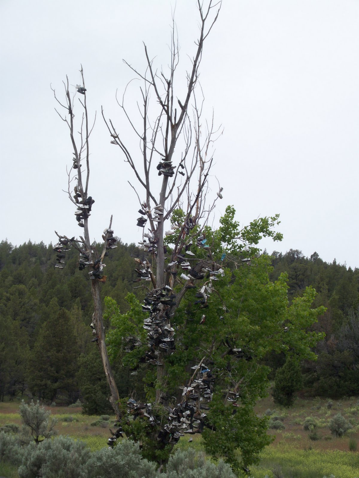
How about the reaches of the Olympic Peninsula? All those rain forests? The setting for "Twilight"?
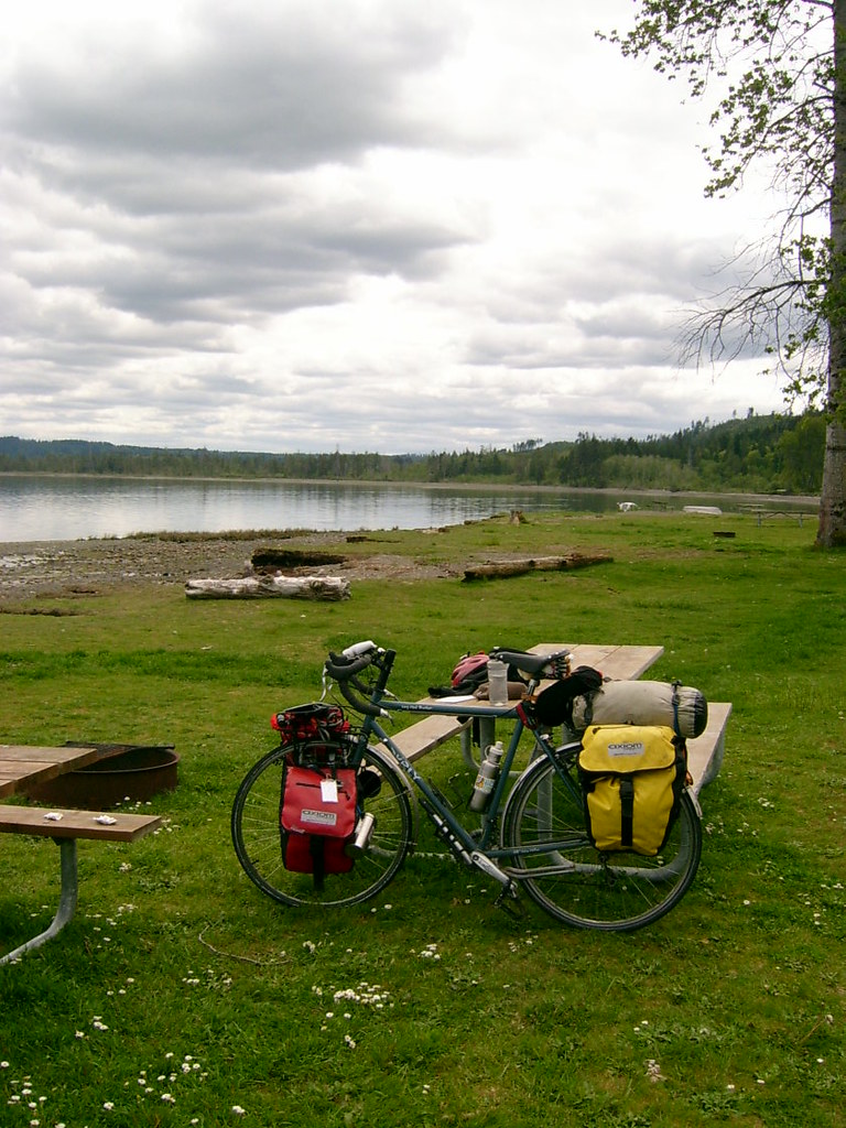
The general idea is this: start biking north on Wednesday, using the inland route that hugs (but doesn't use) I-5. I've biked this bit before, but oh well. Then after Centralia, head northwestward to Elma, then northward along the Hood Canal (uncharted!) to Port Townsend (charted.) Then cross over via ferry to Whidbey Island (uncharted!) up to Bellingham and then cross the border into BC and hang in Vancouver. (I've been looking for an excuse to go back up, since the last couple visits were sub-par.) Then cross via ferry to Victoria on Vancouver Island and then again via ferry to Port Angeles, Washington. Now I'll be following US-101 along the west side of the Olympic Peninsula down the coast all the way to Astoria, Oregon!
I'm planning on biking the whole way (minus ferries and a possible bus ride from Vancouver to the ferry terminal--if you'd try to bike it, you know why), which would make this the first door-to-door long distance tour I've ever done. Of course, I might go a bit slow on the westside of the Olympics, so I may hop a bus from Astoria, or cut back inland at Aberdeen to get to the Centralia train station. I don't know yet. And yeah, it can be a bit wet. I know that.
Well, it should be fun. Wish me luck! I might update this thing a couple times as well.

 Portland to Vancouver BC Bicycle Tour May 2009
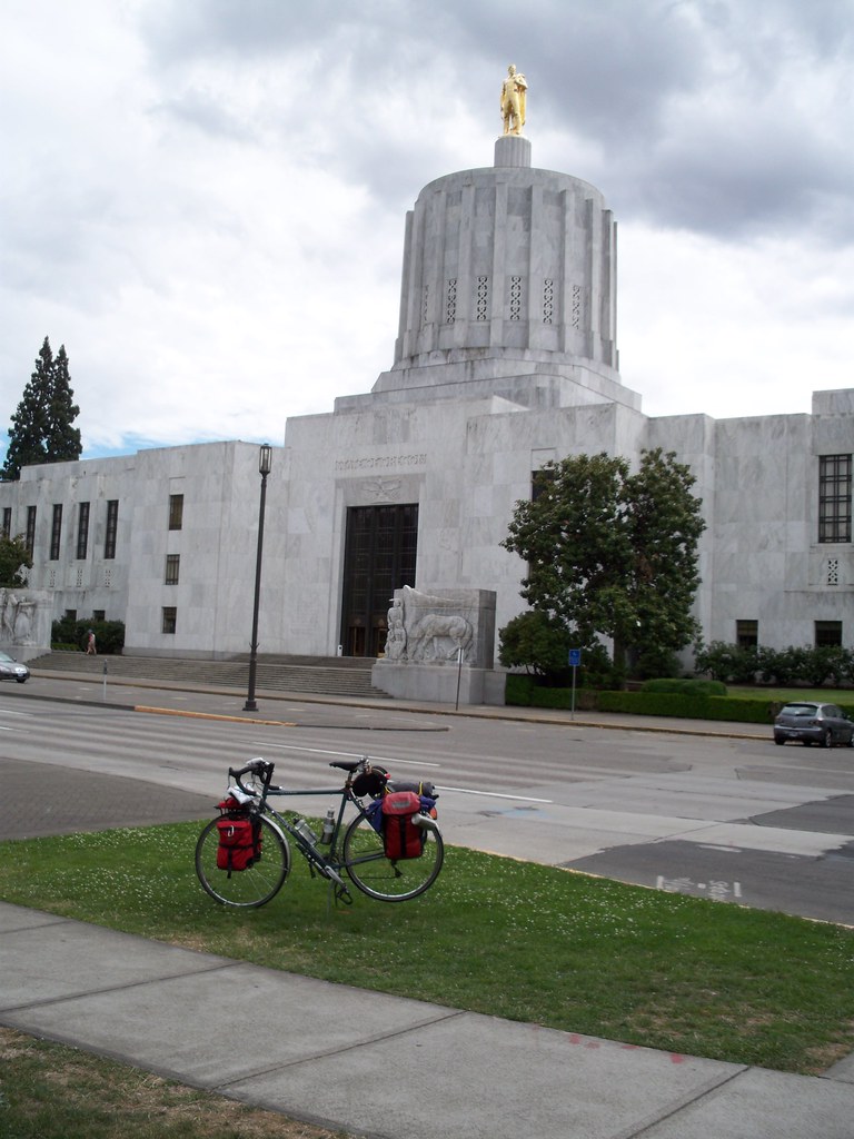 Willamette Valley Bicycle Tour August 2009
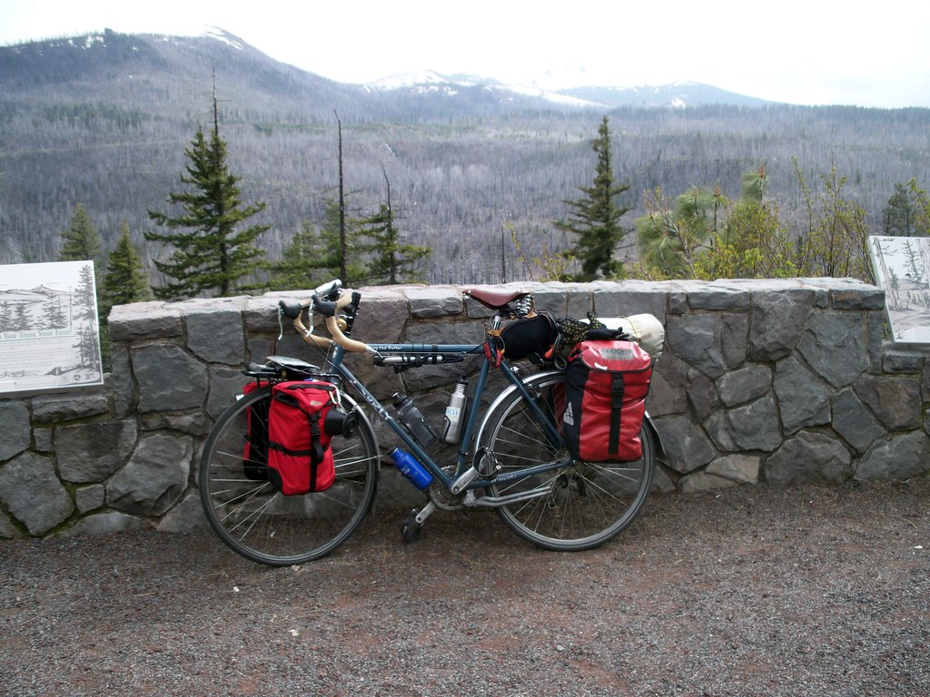 Trans-Oregon Bicycle Tour, May/June 2010
 Olympic Coast Bicycle Tour, July 2010
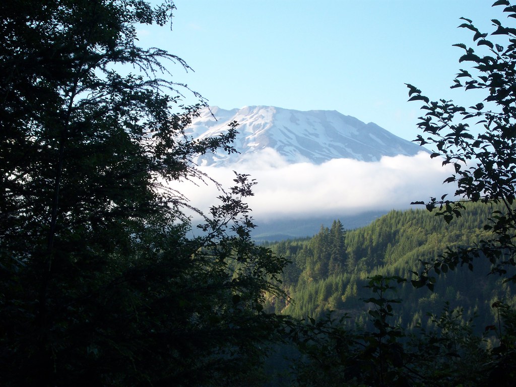 Mount Saint Helens mini-tour, August 2010
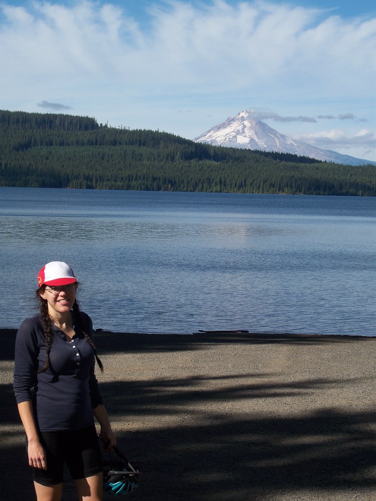 Mt. Hood Mini-Tour, September 2010